This update includes functionality and stability improvements, as well as bug fixes. Happy mapping!.
This update includes functionality and stability improvements, as well as bug fixes.
This update includes stability improvements and bug fixes.
Fix bugs find point module.
This version comes with lots of backend improvements. Happy mapping!.
This version comes with lots of backend improvements. Happy mapping!.
This version comes with lots of backend improvements. Happy mapping!.
Option to read .dbf file while importing .shp file.
This version comes with lots of backend improvements. Happy mapping!.
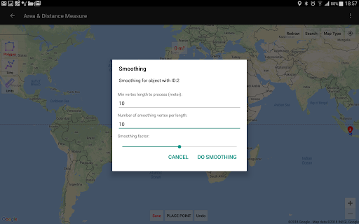
Improvements on smoothing algorithm.
Prevent double vertex when registering lines / polygons.
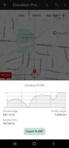
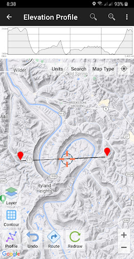
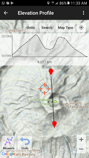
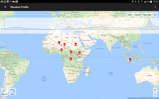
Export elevation profile to DXF file.
This version comes with lots of backend improvements. Happy mapping!.
This version comes with lots of backend improvements. Happy mapping!.
This version comes with lots of backend improvements. Happy mapping!.
DXF file compatibility improvements.
This version comes with lots of backend improvements. Happy mapping!.
Bug fix.
Bug fix.
-. Auto detect invalid polygon geometry.
-. 3D Maps.
-. Polygon compatibility with 3D Maps.
-. Some more improvements.
This version comes with lots of backend improvements. Happy mapping!.
Create separate Project to make it easier for you to organize data, especially for large amounts of data.
Faster CRS calculation.
This version comes with lots of backend improvements. Happy mapping!.
Fix bugs on snap nearest.
Add more photos to the data.
Some other improvements.
This version comes with lots of backend improvements. Happy mapping!.
This version comes with lots of backend improvements. Happy mapping!.
Polygon Hole Inside.
Fix bug APP crash when showing polygon labels (for older android versions).
Fix bug APP crash when showing color picker (for some devices).
Improvements on import CSV, support more CSV format.
Segment length.
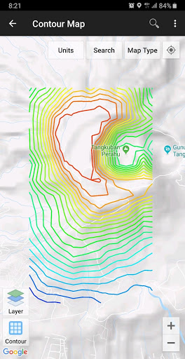
Contour elevation label.
The exported KML is now colored.
Import GPX files.
Name with auto increment.
Performance improvements.
Bug fix on GPS Camera.
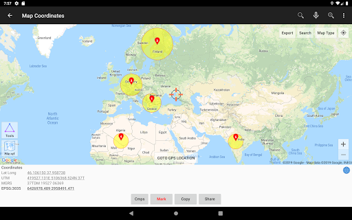
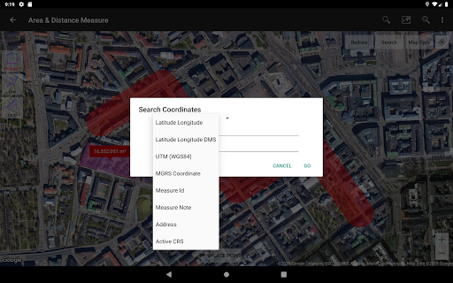
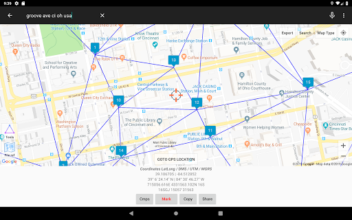
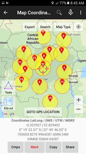
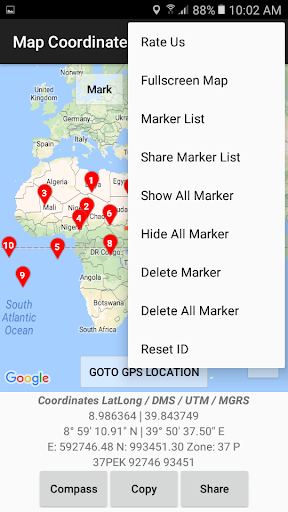
Bug fix on MGRS converter.
Ability to use camera to register GPS points.
Contours Smart Select.
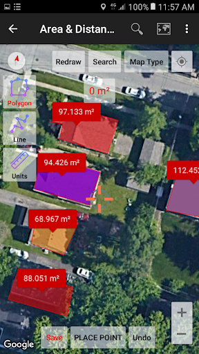
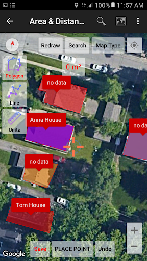
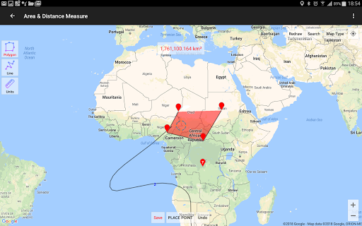
In Area/Distance module, now if you register 1 vertex and save it, the object can be saved as point data.
Backend improvements.
Save selected data to a file (KML, DXF) using Smart Select.
Delete data by Name.
New Data Properties layout.
Multiple Copy for line and polygon.
Add options menu.
Add option to delete photo from data.
Export to DXF file with UTM coordinates.
Support latest Android version.
Performance improvements.
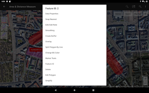
Added options to change default line style and polygon style. Click on dynamic line or polygon during registering line or polygon data, or click menu and options on Area/Distance module or Buffer/Overlay module.
Bringing back missing direction route on Area/Distance module.
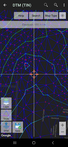
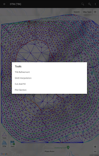
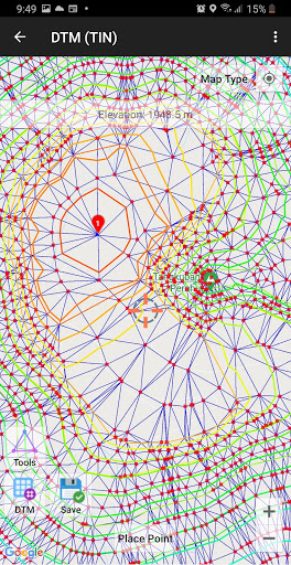
Add Manual TIN Refinement on DTM TIN module.
Some more improvements including fixing bugs.
Change point color
Smart Selector
Fix bugs.
Add watermark text colour option.
Improvements on geometry editing.
Add photo watermark.
Bug fix.
Bug fix.
Improvements on handling 3D Object.
Add cursor dynamic buffer.
Adding 3D object (line and polygon).
Bug fix.
Bug fix.
Improvements in the contour module: added options to create polygons from closed contours, calculate area and perimeter of contours polygon.
All good things left unchanged, only adding some improvements.
All good things left unchanged, only adding some improvements.
- Bug fix.
All good things left unchanged, only adding some improvements.
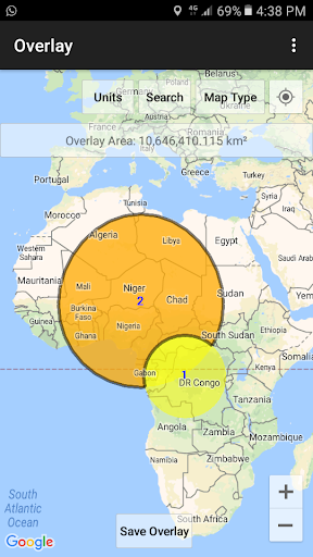
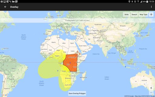
- Merge Overlay module and Buffering module into one module.
- Improvement in search object.
All good things left unchanged, only adding some improvements.
- Fix error.
All good things left unchanged, only adding some improvements.
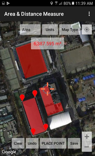
- Add copy, move, rotate and mirror object on Area/Distance module.
- Search improvements on Data List module.
All good things left unchanged, only adding some improvements.
Add TIN options on Contours Module.
Add Cut and Fill volume calculation on DTM (TIN) Module.
Add Surface Elevation Profile on DTM (TIN) Module.
All good things left unchanged, only adding some improvements.
New TIN DTM Module.
All good things left unchanged, only adding some improvements.
-. Add concave hull
-. Add surface elevation
-. Add split polyline by line
-. Add split polyline intersection
All good things left unchanged, only adding some improvements.
All good things left unchanged, only adding some improvements.
All good things left unchanged, only adding some improvements.
All good things left unchanged, only adding some improvements including.
All good things left unchanged, only adding some improvements including:
-. fix bugs in previous version.
All good things left unchanged, only adding some improvements including:
-. More improvements on handling KML files.
-. Add photo from gallery
-. Option to change line width
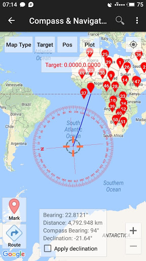
-. Option to change target line width & colour in Compass Map module
-. Some other improvements.
All good things left unchanged, only adding some improvements including:
-. Improvements on handling KML files.
-. Geometry TIN, Voronoi Diagram, Buffer & Convex Hull from points data now clickable & editable.
-. Some other improvements.
All good things left unchanged, only adding some improvements.
-. Export - Import TXT File.
All good things left unchanged, only adding some improvements.
All good things left unchanged, only adding some improvements.
All good things left unchanged, only adding some improvements.
All good things left unchanged, only adding some improvements.
-. Add dissolve buffer.
-. Delete contours inside / outside polygon.
All good things left unchanged, only adding some improvements.
All good things left unchanged, only adding some improvements.
All good things left unchanged, only adding some improvements.
- Select CRS from list.
- Option to change time format (GMT, UTC, Default local time)
All good things left unchanged, only adding some improvements.
All good things left unchanged, only adding some improvements.
-. improved file management.
All good things left unchanged, only adding some improvements.
All good things left unchanged, only adding a few improvements.
Ver. 1.6.1
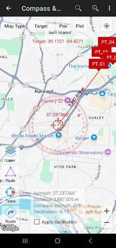
- Find point using compass.
- Generate contours from random points.
All good things left unchanged, only adding a few improvements.
All good things left unchanged, only adding a few improvements.
All good things left unchanged, only adding a few improvements.
All good things left unchanged, only adding a few improvements.
All good things left unchanged, only adding a few improvements.
All good things left unchanged, only adding a few improvements.
Google Maps Crash Hot Fix (3)
Google Map Crash Hot Fix (New)
All good things left unchanged, only adding a few improvements.
All good things left unchanged, only adding a few improvements.
All good things left unchanged, only adding a few improvements.
Fix bugs when saving data using Android 10.
All the good things left unchanged, just adding some improvements include:
- Improved GPS.
- Support latest Android version.
Bug fix in premium contours purchase.
Ver. 2.2.3
Nothing has changed just adding new features to the contour module such as:
- Save contour data into a database.
- Export contours to DXF, KML & CSV (XYZ) files
- Contour editing (smoothing, simplify, change color, add labels etc).
(Ver 1.2.0)
Add module to create contour (premium).
Add a one-time payment option to remove ads.
More features.
-. Fix bugs, crash when zoom to all data.
- Area/Distance Module: Adding Douglas Peucker Simplification, Line To Polygon, Polygon To Line.
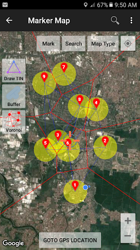
- Marker Map Module: Adding Extract Vertices.
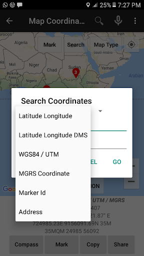
- Coordinate Converter Module: Adding Open Location Code (Plus Codes).
New billing algorithms.
Ver 1.9.9
Dynamic geometry (triangulation etc.) base on cursor movements.
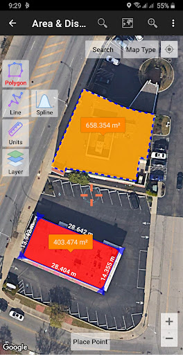
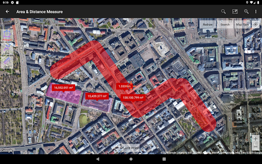
Easier to measure line / distance & polygon / area.
algorithm improvement
Ver 1.9.6:
Add Spanish & Indonesian translation.
Ver 1.9.5
-. Bugs fixed: App crash when user try to share data with no photo using Data Properties Module.
-. Add camera photo to measure data (line & polygon).
Ver 1.9.2
-. Fix bugs in zooming tools.
Ver 1.9.1
-. Import saved KML file.
-. New module to re-trace KML file.
-. Add zooming tools.
-. Some other improvements.
Ver 1.8.6
-. Export all your data (marker, line or polygon) to CSV file and then import it again whenever you need it. With this new feature you do not need to fear of losing your data if you have to uninstall this application, or you can share your data with other users.
Ver 1.8.3
-. Add option to change elevation units (meter / feet).
-. Always save the last setting (map type, marker type, units, etc..).
Ver.1.7.8
Minor change.
Ver 1.7.7
Technically Faster & Better.
Ver 1.7.2
-. Generate Variable Buffer in Marker Map Module (Allows different markers to have different buffer size).
-. Save geometry results (Delaunay Triangulation, Voronoi Diagram, Convex Hull, Fix Buffer, Variable Buffer) to KML file and stored in Google Drive.
-. Fix bugs in move markers tools.
Ver 1.6.6
-. Add move marker / edit marker position & other improvements.
-. We are very apologize that starting from this version, marker geocoding (getting address in every marker measurements) in some devices (not all) will be limited due to the high price we have to pay. For those of you who affected and really need it, please buy / subscribe to our Premium Address Geocoding.
Ver 1.6.5:
-. Open Reference File (KML, GeoJson), Add Delaunay Triangulation & Voronoi Diagram View on Real-time Map Module.
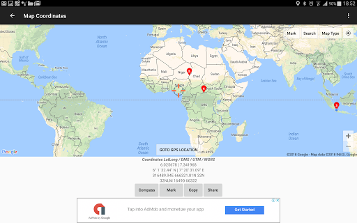
-. Add More Decimals On UTM Coordinates (as requested by Felipe Novelo).
Adding random colours on Voronoi Diagram polygons.
Ver 1.6.3:
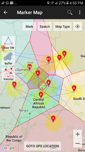
-. New Voronoi Diagram on Marker Map module.
-. New create marker button on Compass Map module.
-. Some other improvements